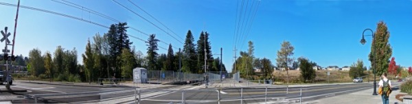
panorama of civic drive stop

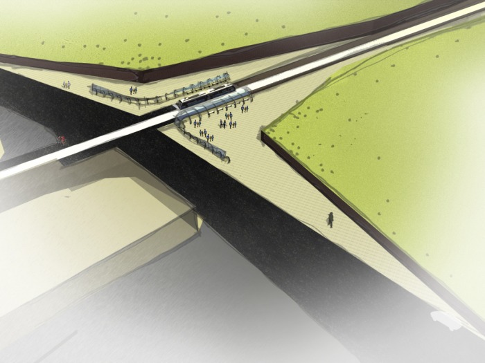
Tony, Kate and I worked together this past week to develop a conceptual site design. Initially, when we first shared our impressions of the site, we had similar thoughts about our experience. The natural landscape gave us a perception that the transit stop was in a valley sandwiched between a hill and trees. While we all came to the same conclusion, our perception did not match the topography map sent to us by the city. The incline of the hill was much less steep than we remembered and the housing development to the northwest is not as far a distance as we held in our memory. That said; we found the disparity of the perception and the reality an interesting topic for exploration.
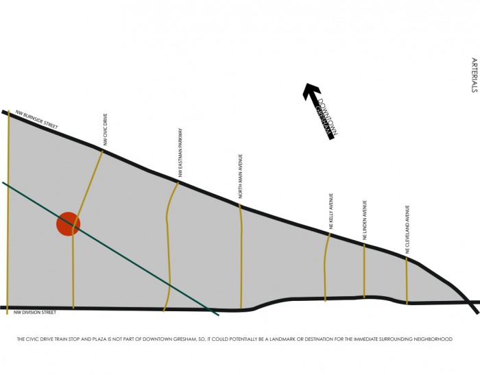
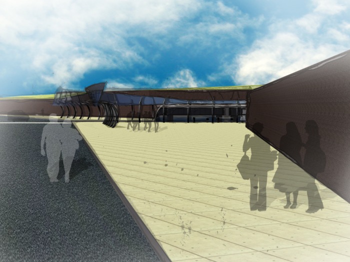
The concept of carving the station out of the land led to the idea of the plaster model. We wanted to create our concept as a group and use craft to express the nature of it. The natural features inherent at the site are an usual feature along the MAX line. Civic Drive is also a point along the line that can be seen as an entrance to and an exit from Gresham. By making a bold gesture we were celebrating the existing landscape and creating a public amenity for the community.
The framework for the site is set and now our individual projects can explore how the natural landscape can inform and coalesce with the built environment.
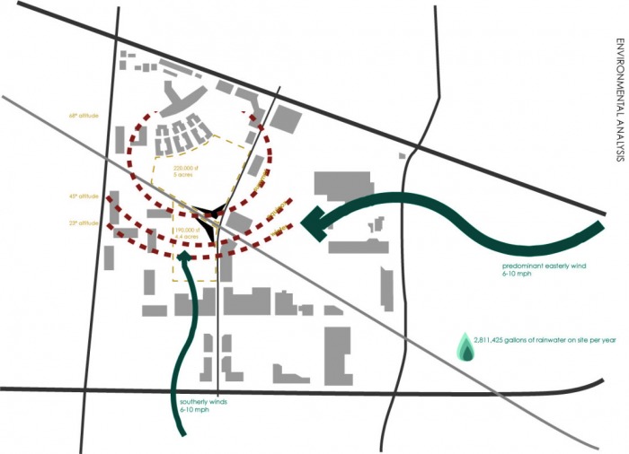
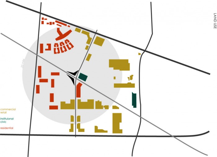
 RSS Feed